About the Trail
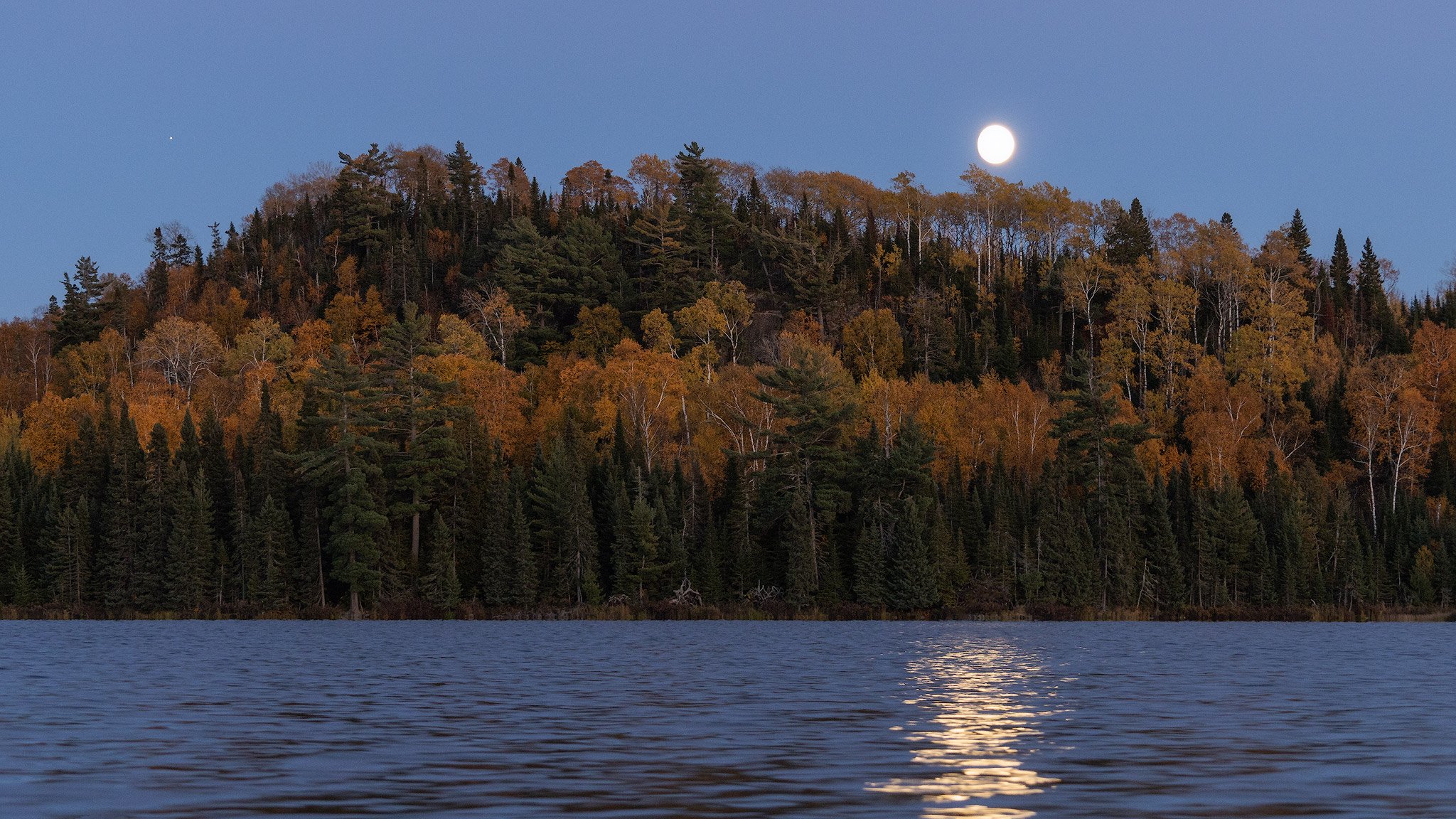
The Border Route Trail (BRT) is a 65-mile-long hiking trail that crosses the Boundary Waters Canoe Area Wilderness. The footpath offers stunning views of ancient rock outcroppings that are part of the Canadian Shield and breathtaking overlooks of chains of lakes left behind by glaciers.
The BRT is located in the northeastern corner of Minnesota and follows the international border between Minnesota and Canada. It connects to the Kekekabic Trail on its western terminus and the Superior Hiking Trail on its eastern terminus. In 2019, the BRT was officially designated by Congress as part of the North Country National Scenic Trail.
A Remote, Rugged Backcountry Experience
The BRT is very remote and should only be attempted by experienced backpackers or wilderness travelers. Backcountry experience and land navigation skills are necessary.
Check the Trail Conditions, Hike Planning and BWCAW Permits webpages for important information before your visit.
Over half of the BRT crosses the Boundary Waters Canoe Area Wilderness (BWCAW). The BWCAW portion starts approximately 13 miles from the western terminus and ends about 16 miles from the eastern terminus. Permits are required year round to enter the BWCAW; visit the BWCAW Permits page for more information.
Local Information
The BRT is in Cook County, Minnesota.
Gunflint Ranger Station, Grand Marais: 218-387-1750
Cook County Sheriff: 218-387-3030
Trail Guide & Maps
Trail Guide
The guide can be ordered online. It contains mile-by-mile descriptions, detailed topographic maps and campsite locations as well as provides historic context of voyageurs, logging and mining.
Printed Maps
Printed maps are available online through the North Country Trail Association (official maps) and McKenzie Maps.
Digital maps
Digital maps can be found on apps like AllTrails, Gaia GPS and as part of the North Country Trail on FarOut.
These apps are not associated with the BRTA and may require a subscription. The trail is subject to re-routing and these resources may not accurately represent the actual location of the trail or campsites at the time of your hike.
